Most of the Machinery Already Exists
In 2024, more than 250 Canadian financial institutions mapped their loan books against flood and wildfire hazard. What that exercise could see, and what it could not, is the more useful guide to where blue finance actually stands.
In 2024 the Office of the Superintendent of Financial Institutions and Quebec's Autorité des marchés financiers asked more than 250 banks, insurers and other regulated financial institutions to lay their own mortgages, loans and insurance policies over flood and wildfire hazard maps. Before this, only 28% of the deposit-taking institutions had ever geocoded an exposure and 15% had ever worked with a hazard map, so the regulators supplied the maps. Between them they geocoded 12.8 million properties, and the Standardized Climate Scenario Exercise showed that institutions can bring physical hazard information into their existing risk systems.
Flood and wildfire suit this kind of work. A building stands still, it has a civic address, somebody owns it and somebody insures it, and it sells often enough that its value is knowable. Draw the hazard on a map, place the asset on the same map, and where the two overlap there is an exposure that can be counted. The exercise defined a high-risk flood zone as one where water would exceed half a metre in a 1-in-100-year event, a threshold a credit policy could use. The hydrology behind that map is difficult work, and by the time it reaches a lender it has already been turned into a location, a probability and a depth.
A property policy renews annually and can be repriced, narrowed or withdrawn, while the loan against the same building runs for years, and OSFI's own reading is that insurability is becoming a proxy for physical risk. Flood cover in Canada is optional, and take-up on residential property runs at about 40%. Of the deposit-taking institutions in the exercise, 12% ask whether the property securing a loan is insured against flood.
The exercise covered eleven urban regions, chosen for their exposure to riverine flooding, with coastal flooding added for Vancouver. Calgary, Winnipeg, Montreal and Fredericton were among the others. The highest concentration turned up in Fredericton, where 36% of deposit-taking institutions' exposure there sits in a high-risk flood zone, and Fredericton is a river city well up the Saint John from the Bay of Fundy. Coastal flooding was assessed in Vancouver and nowhere else.
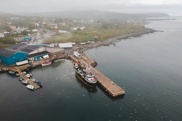
A seafood plant on the Northumberland Strait sits on a foundation and holds a civic address, and as physical property its flood exposure behaves like any other real property. Storm surge reaches it, the surge can be mapped, the plant can be placed on the map, and the same three questions follow that would follow anywhere. Is it insured, for which perils, and on what terms? Extending the geography from eleven cities to the coast, adding coastal flood alongside riverine, and asking a borrower for the flood endorsement on a policy the lender already requires are all real work and none of it is new thinking.
In July 2004 a lobster fisherman in Nova Scotia named Saulnier assigned himself into bankruptcy, and the receiver and the trustee agreed to sell his four fishing licenses and the rest of his assets to a buyer for CAD 630,000. The Royal Bank held a general security agreement over all his present and after-acquired personal property. In 2008 the Supreme Court found that the rights attaching to the licenses, including the fisherman's proprietary interest in whatever he actually caught, brought them inside the statutory definitions of property. What gave the license its value was the right it conferred to participate in the fishery and to own the fish once caught.
The Nova Scotia Fisheries and Aquaculture Loan Board runs a license loan program that finances license and enterprise purchases, to a term of twenty years. Regulation lets the Board adjust the rate on an individual loan, and it names what the risk adjustment responds to: debt servicing capacity, security and the management ability of the borrower, with a separate allowance for the department's own development policy. The mechanism for reflecting risk in the price of a twenty-year fishery loan is already there, written into regulation, and the factors it names describe the borrower rather than the fishery.
LFA 34, off southwestern Nova Scotia, is the largest lobster fishery in the country. Its 978 license holders landed 17,103 tonnes in 2024, worth CAD 415 million at the wharf. Southwest of there, the fishery that once ran through Long Island Sound collapsed, and New York's registered landings fell by 97.7% between 1996 and 2014 as bottom water warmed past what lobsters tolerate. Whether the same thing happens on the Scotian Shelf is much less clear. NOAA's 2025 outlook projects cooler bottom water in the Gulf of Maine, fed by inflows from the Labrador Slope and the Scotian Shelf, and researchers at the University of Maine now expect temperatures there to stay within range for lobster.
Nothing in the exercise reaches a fishing license. The physical modules covered immobile assets, and a license is not immobile, a vessel is not immobile, and the stock they depend on moves by definition. Exposures below CAD 1.5 million were left out of the transition module. The sector list runs to twenty-five industries, and the group holding crop production, livestock production and forestry has no line for fishing. Distribution and bottom temperature are surveyed and mapped, but the exercise provides no equivalent framework connecting those observations to a loss estimate for a fishing license. The exercise drew its boundaries around what it could measure, which is what a well-run exercise does, and the part of the ocean economy whose value rests on mobile biological systems falls outside them.
Commercial facilities are reviewed regularly, often annually. Statements arrive, the borrower is asked how the year went, security is confirmed, insurance is confirmed, and the file is written up again. A fisheries review has obvious places to look: landings, price, the state of the vessel and the season just finished. Whether stock status becomes another one is the question, and it is a question that comes around again every year the loan is outstanding.
The information exists. DFO assesses LFA 34 against commercial biomass from four independent trawl surveys, each with an upper stock indicator, and the stock sits in the healthy zone when at least two of the four are above theirs. Fishing pressure is measured separately against a removal indicator. Indicators, thresholds, evidence that disagrees with itself, and a judgment that gets made again next year are all things finance already knows how to work with. The machinery exists, and so does the underlying science. The missing step is a standardized way to translate stock status into a financial exposure or a credit decision. For flood, somebody had already done that work, at some expense, before the maps ever reached a bank.